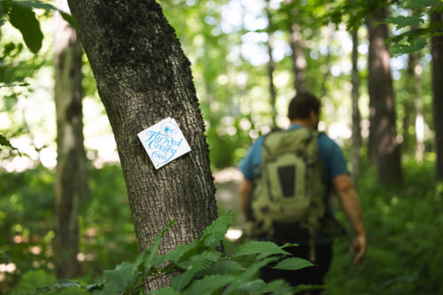
The Fly Rod Crosby Trails
The Fly Rod Crosby Trails
Explore a series of three short loop hikes that offer access to the landscape, history, and recreational opportunities of the High Peaks.
Named for Cornelia “Fly Rod” Crosby, these trails span the region she loved, with trailheads at three locations offering a variety of experiences.
The Fly Rod Crosby Trails include:
- Sandy River Rangeley Lakes Railroad Loop in Phillips
- Reeds Loop in Madrid
- Saddleback Spur in Dallas Plantation
Each offers a different way to experience the region.
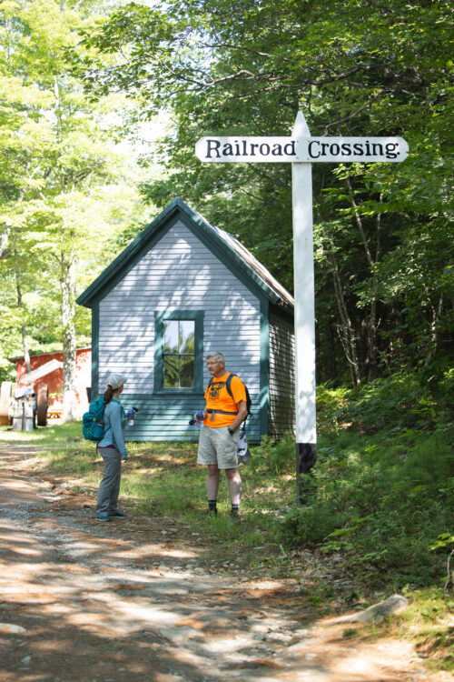
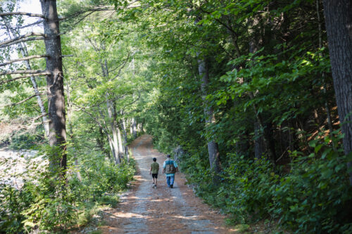
SR & RL Railroad Loop, Phillips
Stewarded in partnership with the Sandy River & Rangeley Lakes Railroad, the SR & RL Railroad Loop invites hikers into Phillips’ rich rail history, where the Sandy River and the restored narrow-gauge railroad create a walk unlike any other in the region.
This easy, family-friendly loop blends riverside scenery with a chance to explore the historic rail corridor and the legacy of the railroad that once connected northern Franklin County. With access from both downtown Phillips and the SR&RL Museum, the SR & RL Railroad Loop offers a memorable outing that connects natural beauty, local history, and community stewardship.
Plan Your Visit
-
Trailhead: Amble Street, downtown Phillips.
-
Parking: Park at the end of Amble Street
-
Trail Length: ~ 1.45-mile loop.
-
Trail Description: Easy riverside and railbed walk with historic railroad features and views of the Sandy River.
-
Difficulty: Easy.
-
Family Friendly: Yes.
Second access point:
-
Trailhead 2: SR&RL Museum, 128 Bridge Street, Phillips.
-
Parking: At the museum trailhead on Bridge Street.
-
Note: This access point places you at the railroad end of the route and is useful if you want to start from the museum side of the loop.
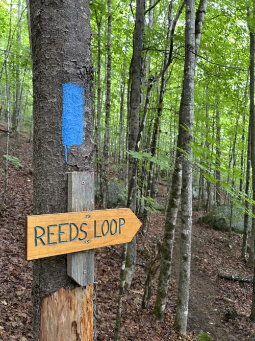
Reeds Loop, Madrid Township
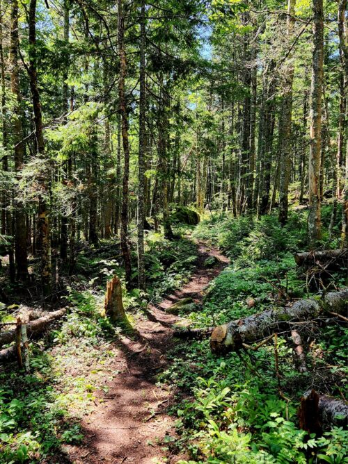
The Reeds Loop invites hikers into a quiet corner of Madrid Township, where Orbeton Stream, wooded hillsides, and a rocky forest loop create a memorable outing. This trail offers a family-friendly adventure with stream access and a mix of gentle and steeper terrain, while reflecting the legacy of Cornelia “Fly Rod” Crosby and the region she loved. The Reeds Loop offers streamside beauty, forest exploration, and a sense of discovery in every season.
Plan Your Visit
-
Trailhead: Reeds Mill Road, Madrid Township.
-
Parking: Small pull-off and kiosk area at the edge of a field on Reeds Mill Road.
-
Trail Length: ~ 1.1-mile loop.
-
Trail Description: A well-blazed loop with stream access, rocks and pools, and some steeper sections through forest.
-
Difficulty: Moderate.
-
Family Friendly: Yes.
The Saddleback Spur, Dallas Plantation
The Saddleback Spur invites hikers into a quieter side of Saddleback’s landscape, where Rock Pond, Midway Pond, and forested mountain terrain create a memorable outing.
This trail network offers a family-friendly adventure with year-round access and a remote feel, while also reflecting the legacy of Cornelia “Fly Rod” Crosby and her connections to the region. Most of the trail crosses privately owned land with landowner permission, underscoring the value of local stewardship in keeping this route open and welcoming.
Plan Your Visit
- Trailhead: Rock Pond Road, Saddleback Ski Resort
- Parking: At the end of Rock Pond Road near the trailhead; overflow parking may be available near the lodge area.
- Trail Length: ~ 2.5 miles of trails
- Trail Description: A moderate hike through rocky, rooty, muddy, and mossy forest with access to Rock Pond and Midway Pond.
- Difficulty: Moderate
- Family Friendly: Yes
Download All 3 Fly Rod Crosby Trail Brochures
Complete this form to download these brochures with maps:
- Sandy River Rangeley Lakes Railroad Loop in Phillips
- Reeds Loop in Madrid
- Saddleback Spur in Dallas Plantation
Fly Rod Crosby Brochures
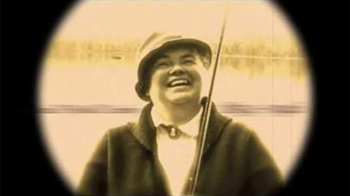
Meet Cornelia "Fly Rod" Crosby
The Fly Rod Crosby Trails are a recreational gem, honoring the legacy of Cornelia “Fly Rod” Crosby, who was pivotal in promoting the Rangeley region during the 19th and early 20th centuries. Not only was she an avid sportswoman, but she also championed bag limits and conservation, contributing to the region’s popularity as a hunting and fishing destination.