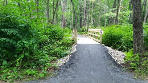
| Farmington’s Sandy River Bridge | High Peaks Alliance

Projects

Areas Conserved With Your Support

Land Access

Land Conservation

High Peaks Initiative

State Of The <strong>High Peaks</strong> | Farmington’s Sandy River Bridge | High Peaks Alliance

State Of The High Peaks

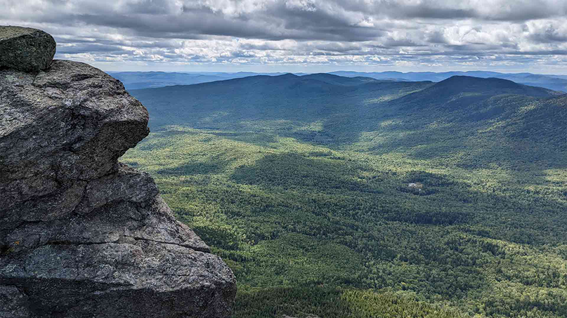
The purpose of the State of the High Peaks report is to document and map the recreational resources that are found in the High Peaks Region. This project aims to identify all recreational trails in the region and identify the level of protected public access via conserved lands, licenses, or leases for each of the trails. In doing so, this report will establish a baseline outdoor recreation infrastructure census for the High Peaks Region of Maine.
Download The High Peaks Alliance Reports

To download a pdf of – State of the High Peaks – A Report of Outdoor Recreation & Trails in Maine’s High Peaks Region and State of the High Peaks Part 2, please fill out our form.

Download The Report

Name(Required)
Address(Required)
** By completing and submitting this form, you are consenting to receive occasional newsletters and promotional emails from High Peaks Alliance. We value your privacy and assure you that your information will be kept confidential.
This field is hidden when viewing the form