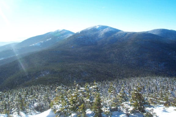
Horn and Saddleback from Jr.
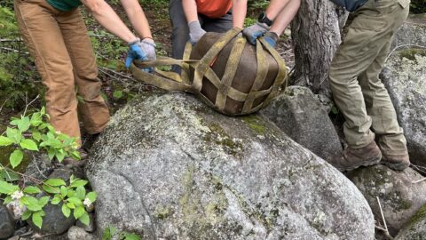
The High Peaks Alliance and Sandy River Land Trust propose a collaborative project to utilize local people to map the existing motorized and non-motorized trail network in the southern portion of the “High Peaks” region, bordered on the north by the Appalachian trail and on the south by the Sandy River). Historically, there has been very little local say in how land is planned for and used in this area. Outside influences including economic, recreation, and conservation have dominated the conversation about economic development, large landscape conservation, and public access to the land. The purpose of the project is to enlist local support and help in creating a planning tool to depict recreational opportunities that exist, lay the foundation for a future coordinated multi-trail network, and conservation activities in the High Peaks region.
Specifically, in this project, the High Peaks Alliance hopes to partner with local recreational groups (hikers, snowmobile clubs, ATV clubs, geo-cache clubs, etc..) to gather GPS data on existing trails in the area to create a planning map. This tool will be available to parties interested in planning trails in the southern High Peaks region as well as those already managing the current multi-trail network.
The High Peaks Alliance is interested in any feedback on this proposed mapping project. We hope to represent as many recreational trail groups and interested parties as possible in creating this new planning tool for the southern portion of the High Peaks Region.
-Ben Godsoe, High Peaks Alliance Americorps Volunteer